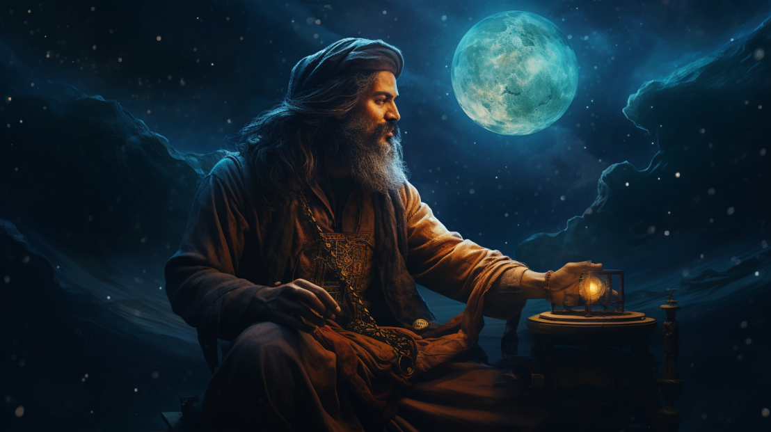
The Maritime Pioneers
Centuries before the advent of satellite navigation, ancient Indian mariners were masters of the seas, navigating vast oceans with precision and confidence. They relied on an intricate system of navigation that, though devoid of modern technology, was astonishingly accurate.
The Stars as Guides
Astrology and astronomy were deeply intertwined in ancient Indian culture. Mariners used the stars, the moon, and the sun as their guides, developing complex algorithms to calculate their positions and plot their courses across the unpredictable waters.
The Modern Echo
Today’s GPS technology, though reliant on satellites and digital interfaces, echoes the precision and reliability of ancient Indian navigation. The principles of calculating positions based on celestial bodies have been translated into the language of satellite signals and digital coordinates.
The Algorithmic Mastery
Ancient Indian navigators had developed algorithms to calculate distances, directions, and positions. These algorithms, though manually executed, were precursors to the complex codes that run today’s GPS devices.
The Celestial Connection
The satellites that orbit Earth, serving as the eyes of modern GPS technology, can be seen as the digital embodiment of the ancient mariners’ celestial guides. Each satellite, like a star, helps us find our way in the vastness of our world.
Conclusion
As we navigate our modern world with GPS devices in hand, we are walking a path illuminated by ancient Indian mariners. Their mastery of the stars, their algorithmic brilliance, and their fearless exploration of the oceans are woven into the fabric of our digital age, a silent reminder that we are not pioneers, but inheritors of a legacy of navigation that defies time and space.
